Study Area Region of Central Macedonia Municipality of Volvi
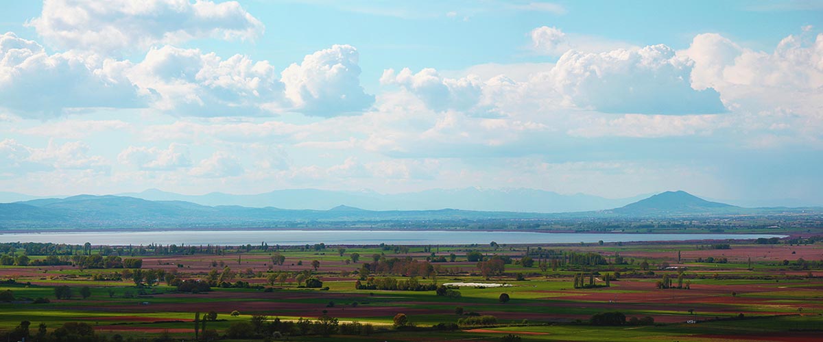
The Mygdonia basin is defined as elongated tectonic draft, extending between the mountains of Camel and Rendina, within which lakes Koronia and Volvi are developed, which are residual forms of large Pleistocene Lake of Mygdonia. The Mygdonia basin is in Central Macedonia at the 10th Water Apartment of Greece, as defined by law 1739/87. The wider area of this basin occupies nearly the entire Lagkada province and parts of Thessaloniki provinces, Arnaia and Chalkidiki. The basin of Mygdonia covers an area of approximately 2026 km2. It is surrounded by mountains with an altitude of 600-1200m and it is communicated with the sea, the Strymon Gulf, through the strait of Rendina. Lake Koronia with Volvi lake, are included in the broader draft of Mygdonia basin. Although the hydrogeological Mygdonia basin is a single basin, for practical purposes is divided into two sub basins, Koronia and Volvi lakes. The boundary between the two sub-basins is not clear and approached the axis of Field-Scholarios settlements through a system of hills where Derveni river passes. The eastern sub Mygdonia basin, the sub-basin of Lake Volvi has an area of approximately 1278 km2 and the west which is the sub-basin of the lake Koronia has a total area of approximately 746 km2. The direction of the axis of the sub Volvi is East West and the sub Koronia North West-South East.
Municipality of Volvi is a municipality of the Region of Central Macedonia, which was established in 2011 under the 3852/2010 law (Kallikratis Law) by combining the former municipalities of St. George, Apollonia, Arethusa, Egnatia Madytos and Rentina. It is located in the eastern limits of Thessaloniki and it the capital of the municipality is located in the city of Stavros (ESYE 2013). It is the second largest municipality of Thessaloniki under the Kallikratis law with 782 square kilometers and is bordered to the northeast of Serres prefecture, northwest to the municipality of Lagkadas, southeast with the Municipality of Aristotle and southwest with the municipality of Polygyros. The Municipality consists of 38 urban settlements, and occupies an area of 782 km². It has a permanent population, according to the 2011 census (source ESYE 2011) of 23 370 inhabitants.
The economic development of the municipality is not equal. We can distinguish two economic areas: the coastal areas around the Strymon bay, where the big tourist resorts are, and inland areas, where agriculture remains dominant. In the entire municipality, the primary sector employs 28.2% of the economically active population, the secondary sector 18%, while the tertiary 53.8% (ESYE 2013).
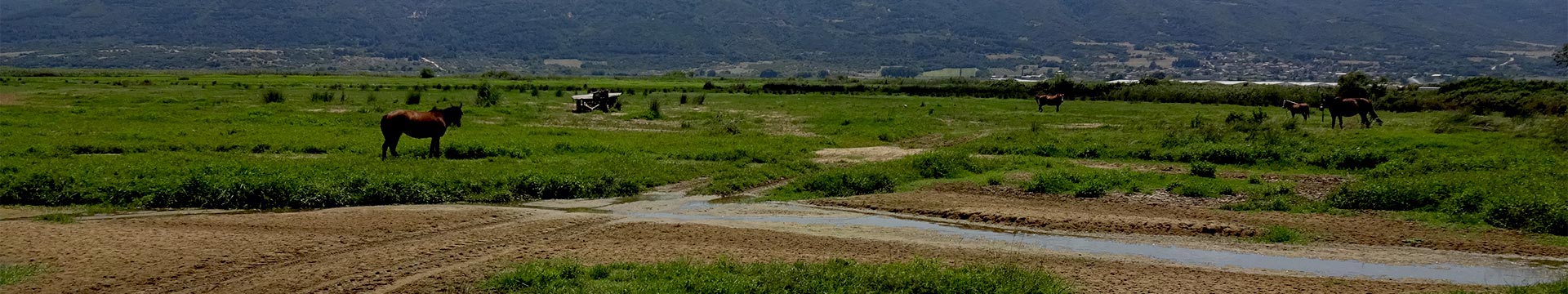
The areas around the lake have a strong agricultural character because of the fertility of the soil which is the bottom of the former Lake Mygdonia. Almost all the land available for farming in the study area - defined by the administrative boundaries of communities around the lake is cultivated. The mild climate created by the existence of two lakes, the fertile soil, and the potential irrigation of these lands have contributed to the rapid development of agriculture.
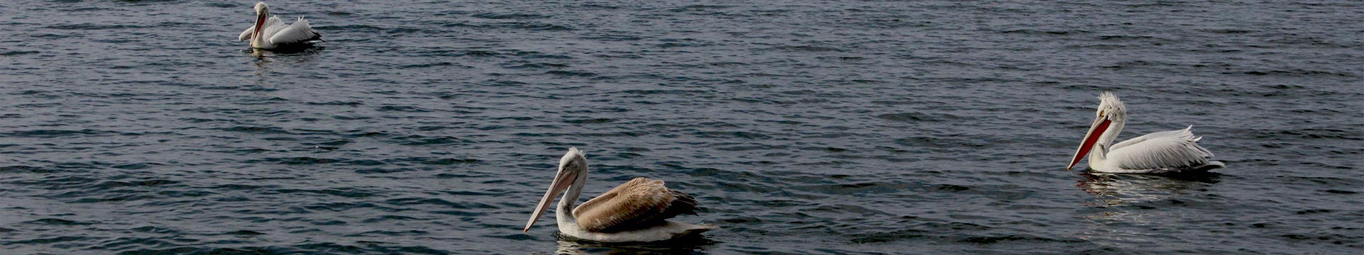
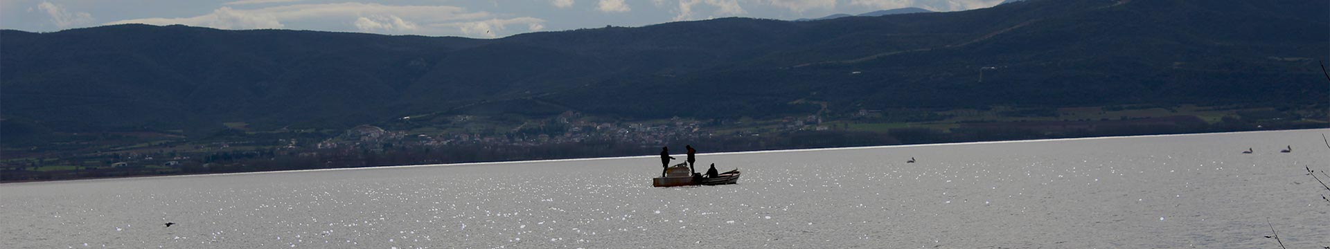
The economy of the area consists of small local enterprises whose purpose is to serve the needs of the local communities. Besides agriculture, residents are employed in livestock and fishing while the secondary section of economy mainly involves wood and construction enterprises. The rest of the population besides retired residents and kids is employed in the service sector both private and public, especially in the western part of the municipality near the sea.