0%
Λεκάνη Μυγδονίας.
ΠΕ Θεσσαλονίκης Ελλάς
  • el
  • en

    Study Area

    Region of Central Macedonia Municipality of Volvi
    gall-img-011

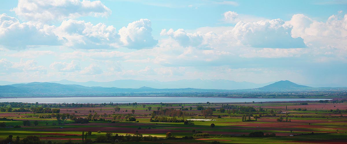
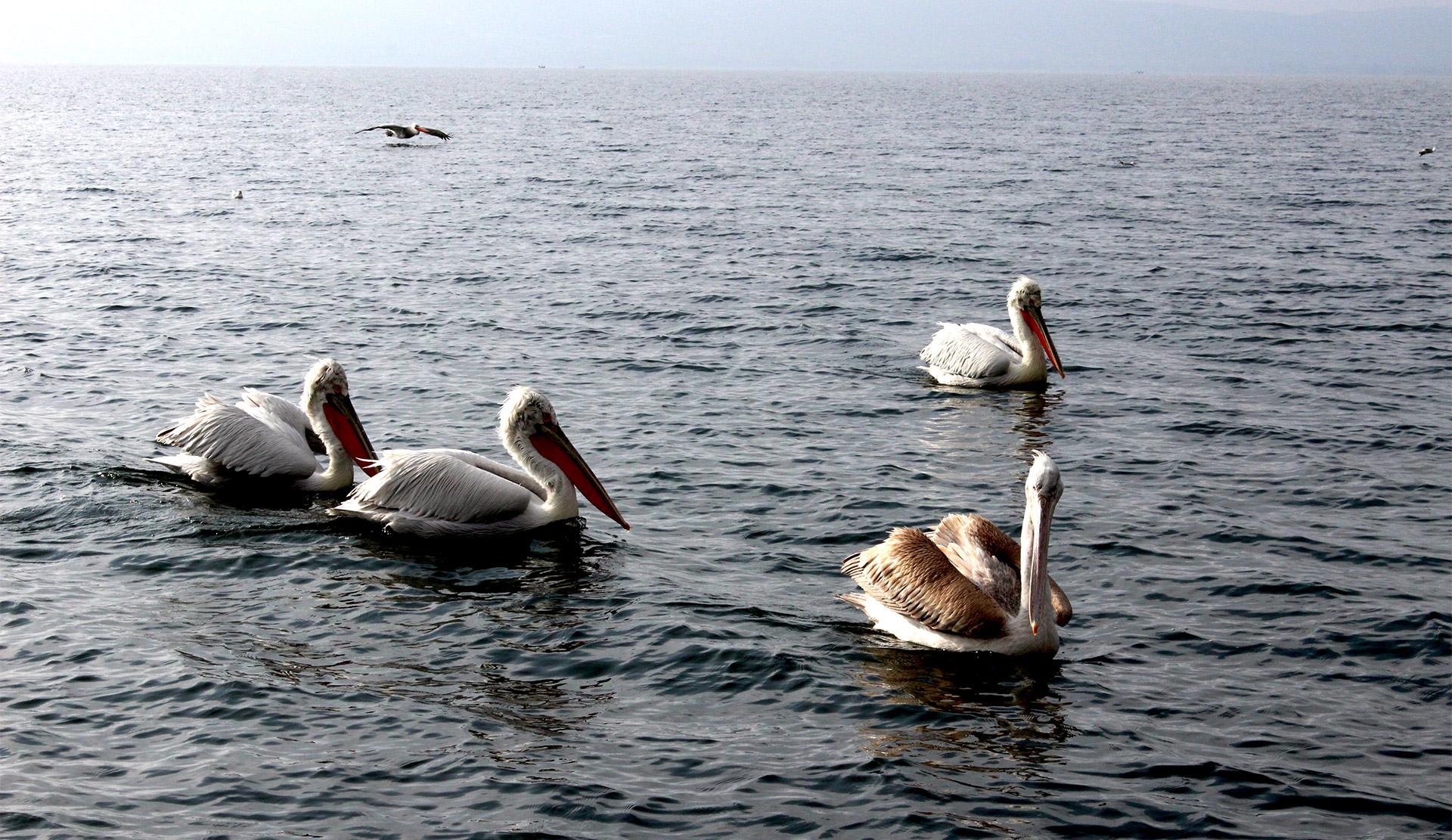
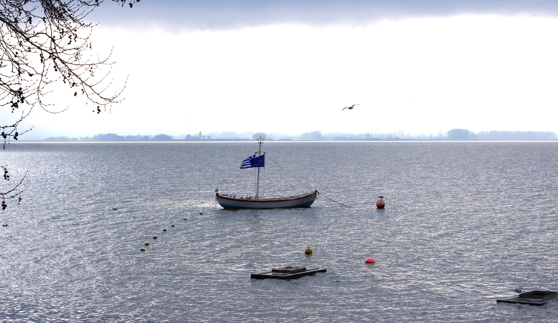
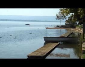
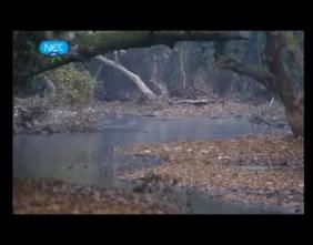
    The Mygdonia basin is defined as elongated tectonic draft, extending between the mountains of Camel and Rendina, within which lakes Koronia and Volvi are developed, which are residual forms of large Pleistocene Lake of Mygdonia. The Mygdonia basin is in Central Macedonia at the 10th Water Apartment of Greece, as defined by law 1739/87. The wider area of this basin occupies nearly the entire Lagkada province and parts of Thessaloniki provinces, Arnaia and Chalkidiki. The basin of Mygdonia covers an area of approximately 2026 km2. It is surrounded by mountains with an altitude of 600-1200m and it is communicated with the sea, the Strymon Gulf, through the strait of Rendina. Lake Koronia with Volvi lake, are included in the broader draft of Mygdonia basin. Although the…

    Read more

    Announcements

    Latest announcements and news from wet-aid.eu
    • Invitation
      30

      Nov

      Invitation

      Ο ∆ΗΜΟΣ ΒΟΛΒΗΣ σας προσκαλεί να συµµετέχετε στο Εκπαιδευτικό Σεµινάριο για αγρότες µε θέµα «Σχεδιασµός και εφαρµογή ορθών αγροτικών πρακτικών για την προστασία του περιβάλλοντος και της ανθρώπινης ζωής» την Παρασκευή 2 ∆εκεµβρίου 2016 και ώρα 10:00 στα Λουτρά Νέας Απολλωνίας του ∆ήµου Βόλβης.
      Read more
    View all

    Gallery

    Photos and videos from Wet Aid activities

    View all

    Our progress

    Σε 2.120.000 στρέμματα της λεκάνης της Μυγδονίας, 100 ζεύγη ερωδιών, 343 είδη πουλιών.

    69

    WATER SAMPLES

    24

    SOIL SAMPLES

    31

    SAMPLING POINTS

    2090

    LABORATORY ANALYSIS

    Δήμος Βόλβης Α.Δ Μακεδονίας Θράκης Ss. Cyril and Methodius University in Skopje Interbalkan Environment Center